ADVERTISING
The "Playable City Griesheim" project brings over 1000 primary school children to participate – scientific evaluation planned
How do children get around the city – and how can their daily commute to school be made safer, more enjoyable, and more child-friendly? The school route mapping project, part of the "Playable City Griesheim" . Around 1200 children in grades one through four from all four Griesheim primary schools their individual routes to school with chalk .
Using simple symbols – arrows indicating the direction of travel , crosses at street crossings , and circles at their homes – the children map their route from the school grounds to their homes. The project aims to gain a better understanding of children's daily routes and to derive concrete improvements for the design of public spaces.
Scientific evaluation by Darmstadt University of Applied Sciences
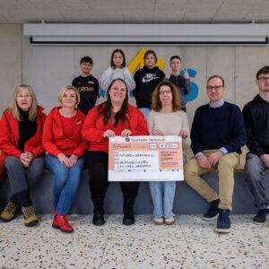
The mapping project is being supervised and analyzed by Professor Bernhard Meyer and four students from the Protestant University of Applied Sciences Darmstadt . The project is entirely funded by donations .
A public press conference will take
place 📅 Tuesday, July 1, 2025, at 11 a.m.
📍 in the entrance area of the Friedrich-Ebert-School, Friedrich-Ebert-Straße 49. Mayor Geza Krebs-Wetzl will be present.
Media representatives are cordially invited and requested to register by Monday, June 30th, 10 a.m. , at redaktion@griesheim.de .
(GRIESHEIM – RED/PSG)


